Bradenton Beach Scenic Highway
Byway Length: 3 Miles
Designated: April 17, 2001
FDOT District: 1
Overview
The Bradenton Beach Scenic Highway (a 3 mile segment of SR 789 or Gulf Drive) is a beautifully greenscaped, pedestrian friendly, waterfront highway corridor where residents and visitors can safely walk and bike. The outstanding beaches, picnic areas, boat ramps, parking and scenic vistas along the highway provide pleasant places for residents and visitors to interact with the natural environment and the island community.
The Bradenton Beach area provides unique family oriented restaurants and locally owned lodging. The island community located along the Scenic Corridor provides both environmental and historic educational opportunities that have maintained the Old Florida ambiance of both the architectural and natural flavor.
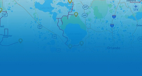
Byway Map: Downloadable PDF Map
Share This Page:
Bradenton Beach Scenic Highway Map
Bradenton Beach Scenic
Highway Video
Byway Resources
General Directions
Located on Anna Maria Island west of Sarasota in Manatee County on Florida’s Gulf Coast, the Highway is a 2.8 mile long segment of SR 789 or Gulf Drive. The corridor begins at the Longboat Pass Bridge and extends northward through the City of Bradenton Beach to the northern city limits.
Associated Resources
These are specific resources for this byway. See Associated Florida Resources for connections to organizations affecting all byways in Florida.
Manatee Chamber of Commerce:
http://www.manateechamber.com/
Longboat Key Chamber of Commerce:
http://www.longboatkeychamber.com/
Florida’s Gulf Islands:
http://www.annamariaisland-longboatkey.com/
Anna Maria Island Chamber of Commerce:
http://www.annamariaislandchamber.org/
City of Bradenton Beach:
http://www.cityofbradentonbeach.com/
Bradenton Area Convention and Visitors Bureau:
http://www.bradentongulfislands.com/